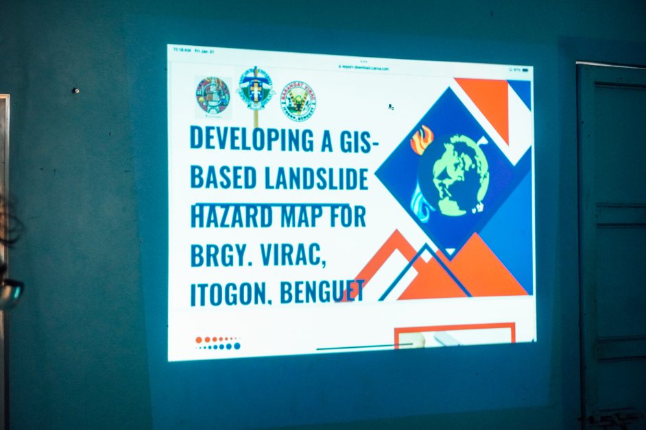
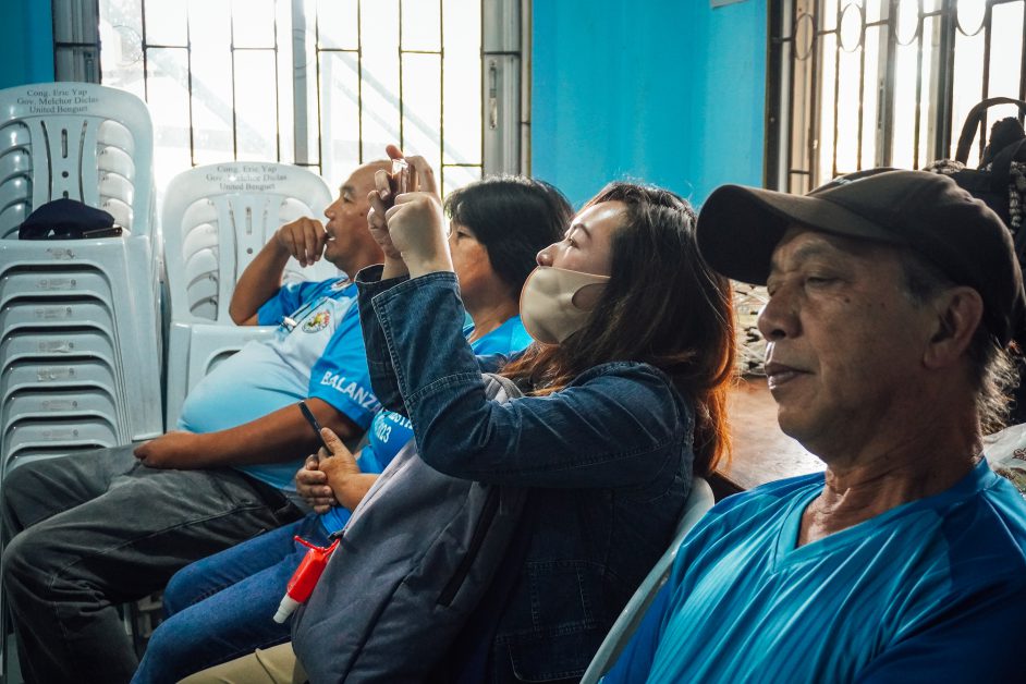
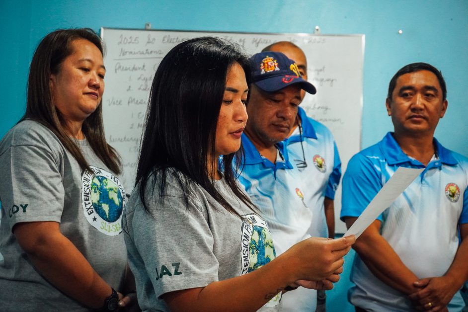
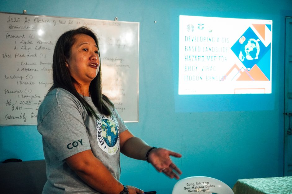
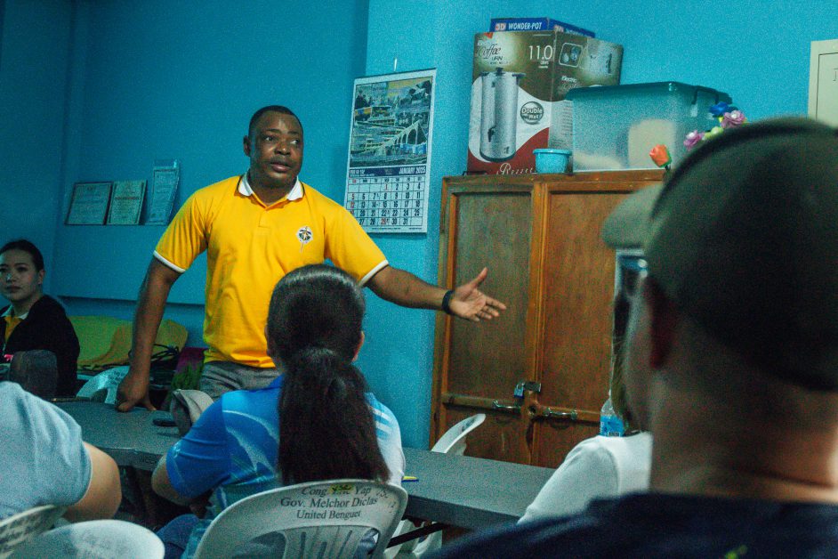
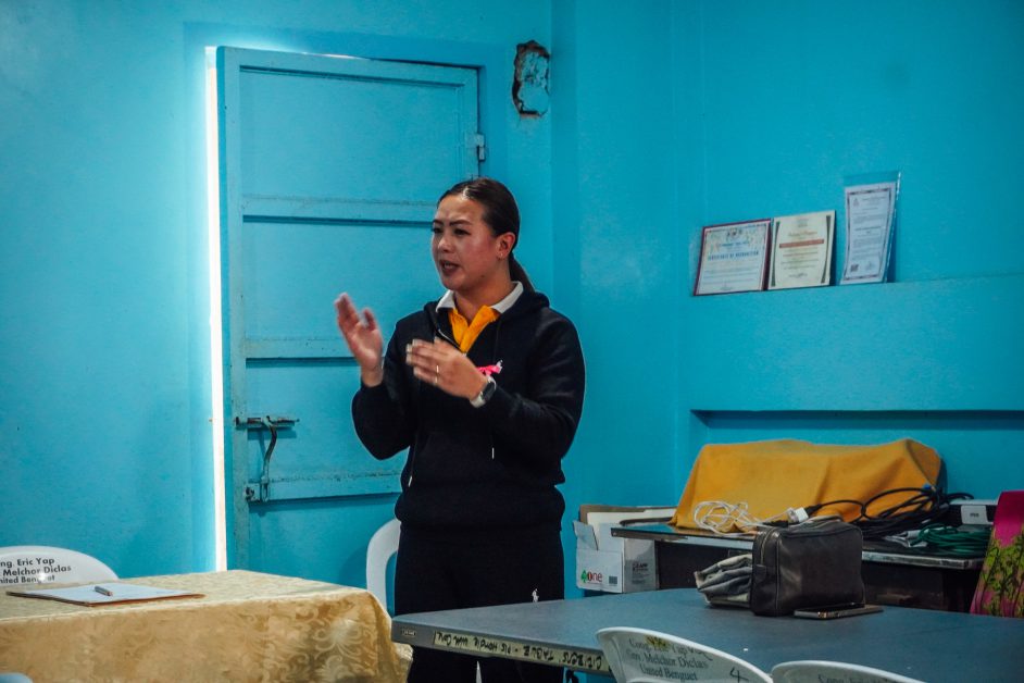
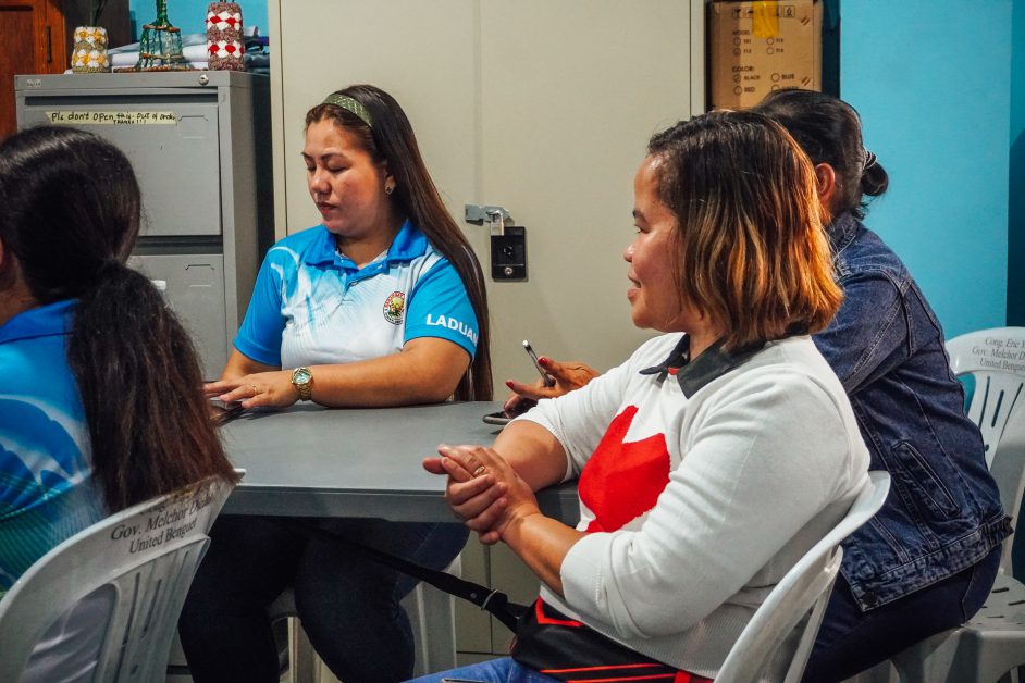
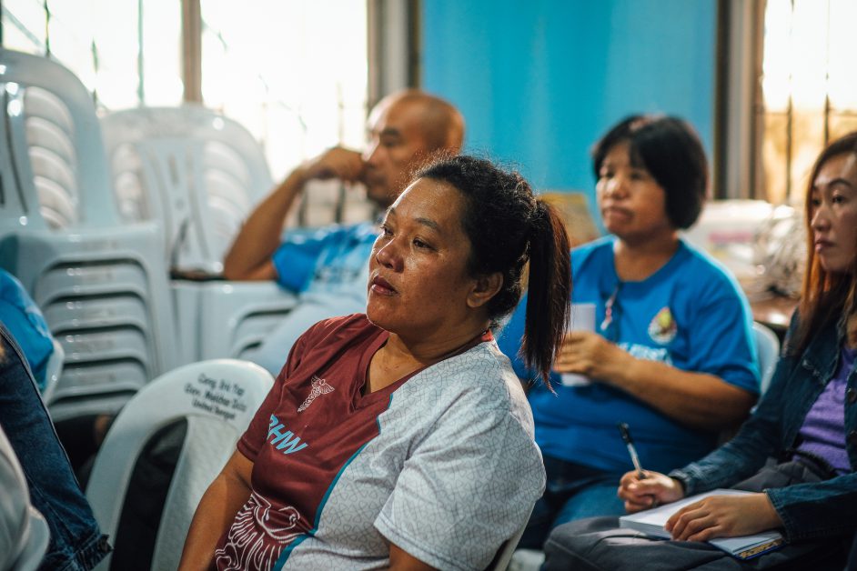
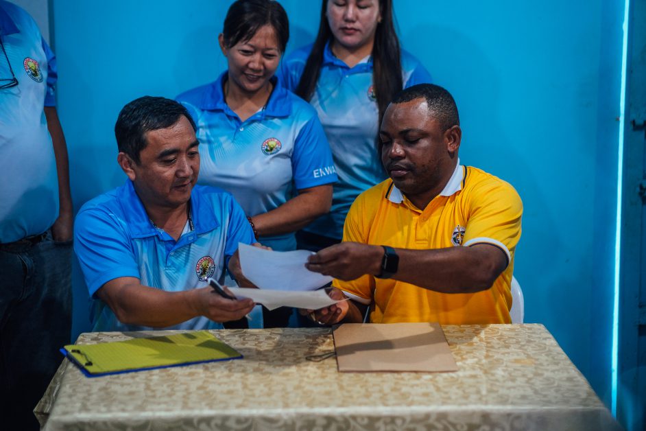
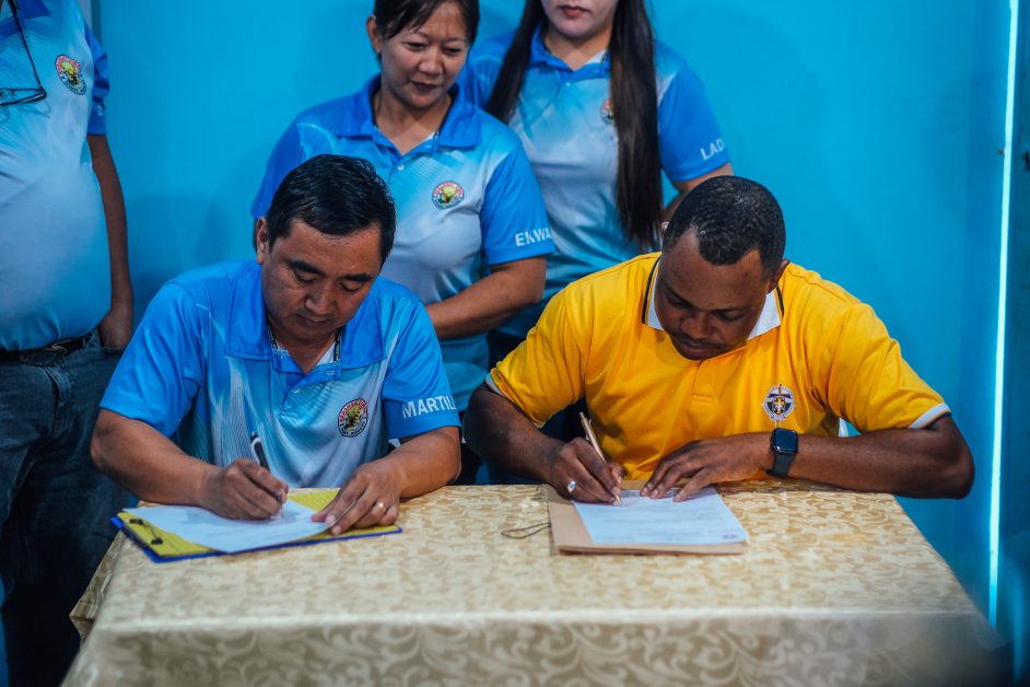
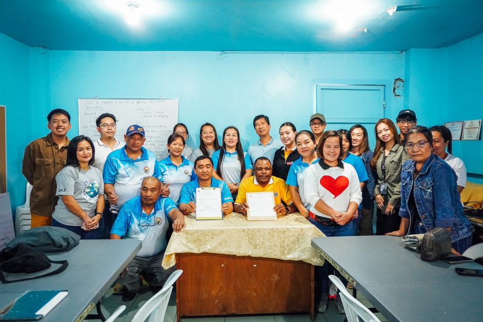
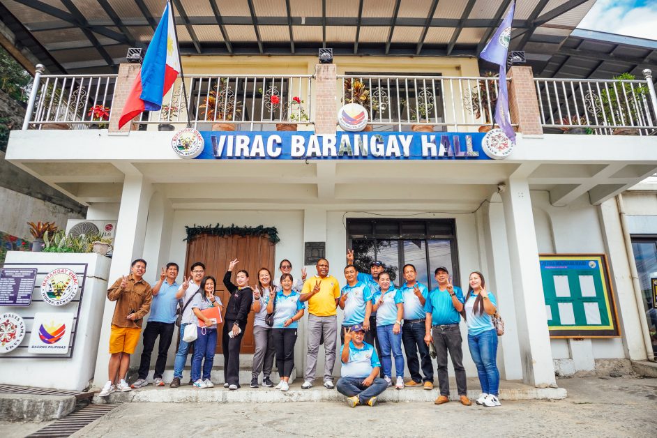
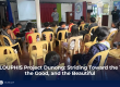
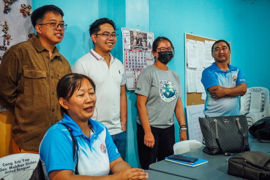
To enhance disaster preparedness, Barangay Virac, Itogon, Benguet, in partnership with Saint Louis University (SLU), launched a Computer-Based Barangay Hazard Map Program, which was the replication of the SLU School of Engineering and Architecture’s (SEA) extension program. The said launch was held during the Signing of the Manifestation of Consent on 31 January 2025 in Brgy. Virac. The event gathered SLU faculty members, local officials, and community representatives to formalize their commitment to utilizing technology for hazard mapping.
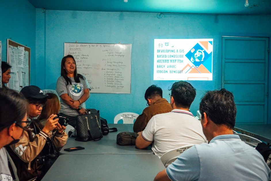
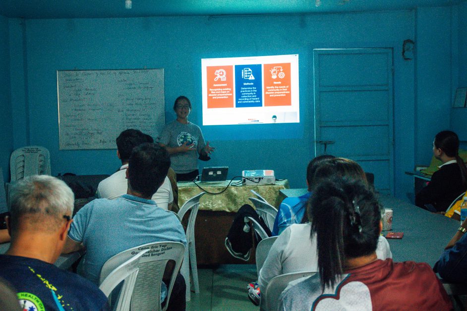
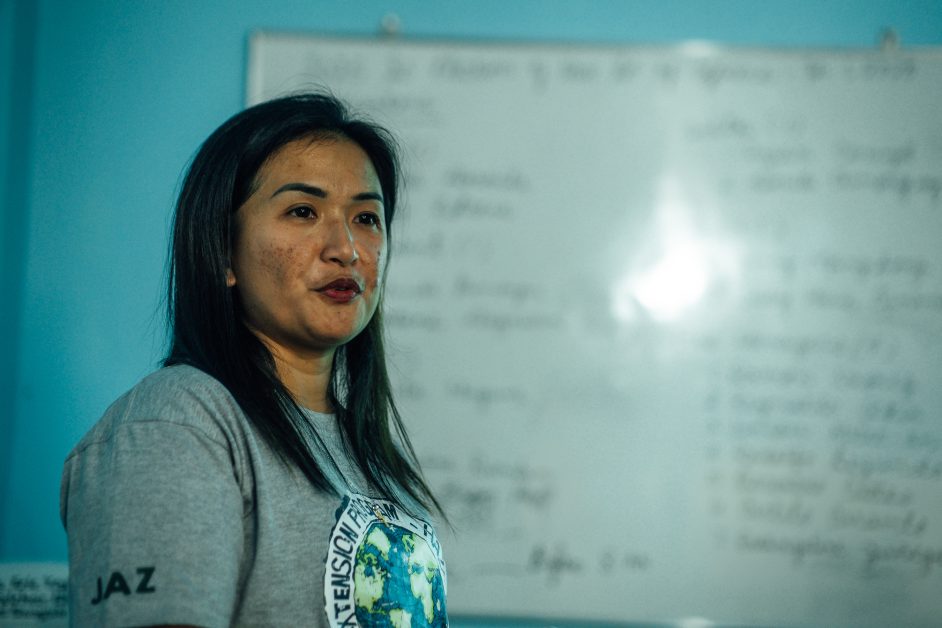
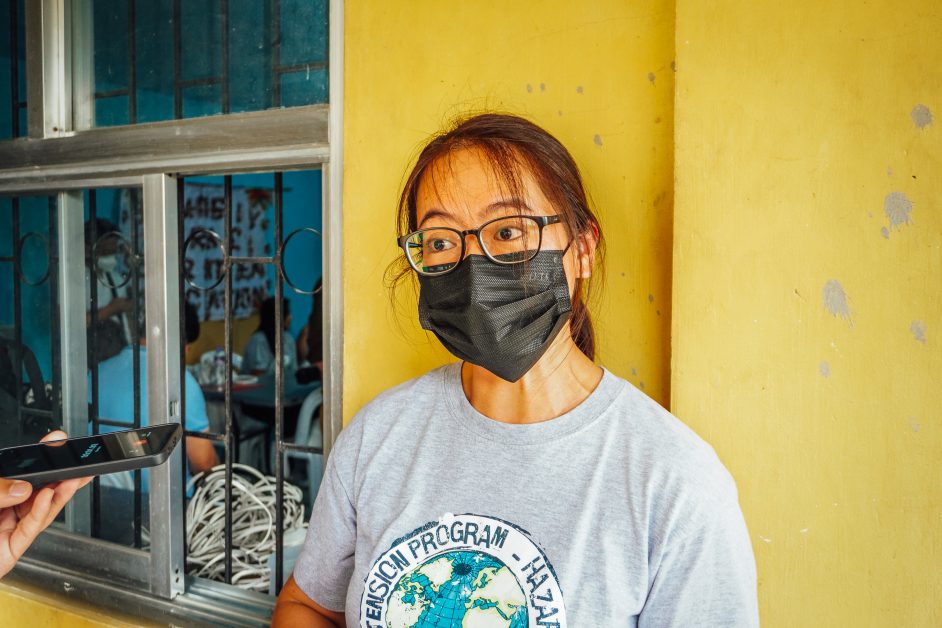
Engr. Yuri A. Suba, a faculty member of the SEA Civil Engineering program, introduced the extension program, citing the research of Engr. Florence Leslie Campolet, a faculty member of the SEA Electronics and Communications Engineering Department, as its foundation. “What inspired her to do that research is because as we all know, Baguio City has been experiencing landslides every time pag may typhoon. So, she conducted that research to map out and to help kung saan talaga ‘yong mga prone ng landslide,” she explained. The project began in Barangay Irisan, where officials were trained to develop hazard and vulnerability maps using Quantum GIS. The same training was later extended to Barangay Kias and Barangay Atok Trail, focusing on GIS mapping, GPS data collection, and data integration.
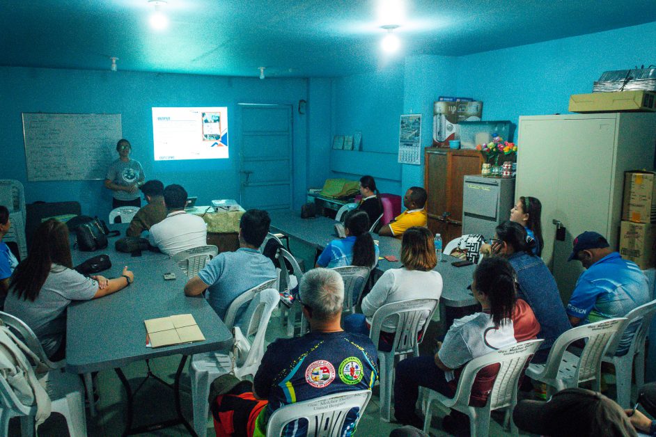
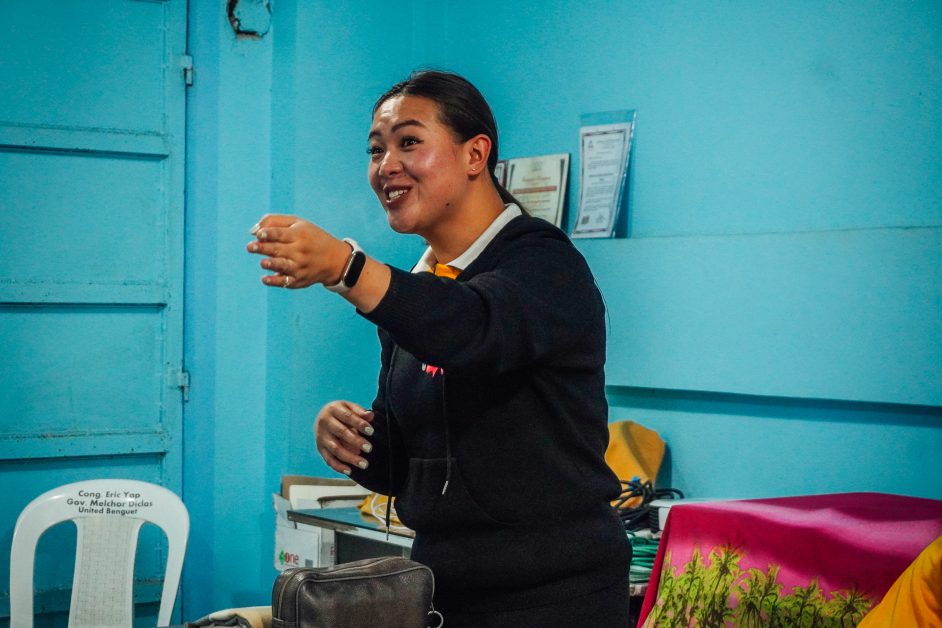
Despite challenges, including difficult terrain and initial unfamiliarity with computers, community members gradually adapted. “So far when it comes now to training, parang ang naghoholdback sa kanila is the fact that some of them were not really trained on how to use the computer but after some time naman, they were able to grasp,” Engr. Suba shared.
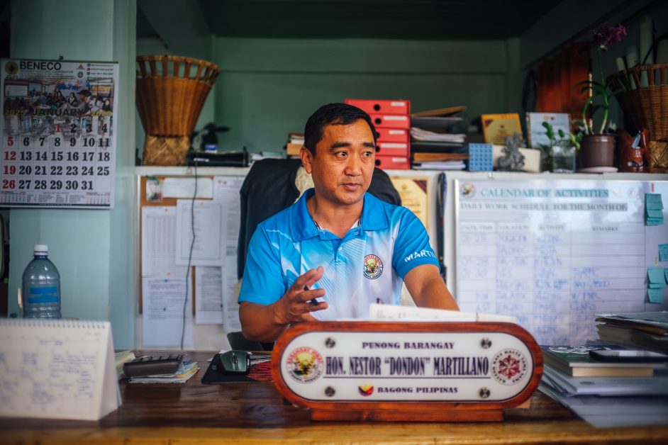
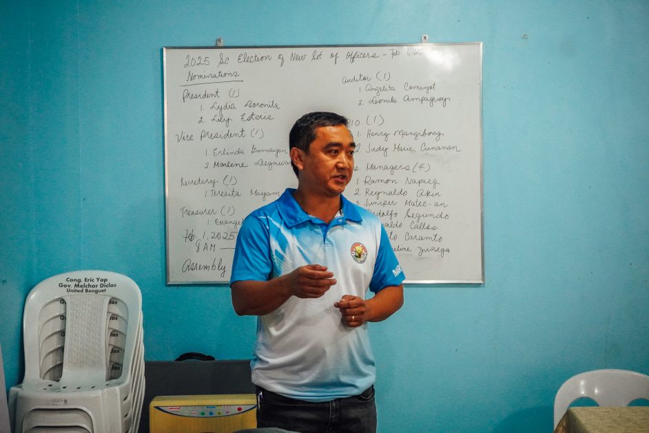
Virac Barangay Captain Nestor L. Martillano Jr. emphasized how the program would improve disaster risk management. “Overall, marami tayong mase-save na tao. ‘Yong safety talaga nila ang top priority,” he said. He also identified landslides and forest fires as the major risks faced by Virac and stressed the importance of encouraging community participation. “Kailangan talaga na i-encourage natin ang community na mag participate… kaya may mga programs din and trainings,” he added. He expressed gratitude to SLU faculty and contributors, saying, “Very grateful kami na maging parte ng program na ‘to, so sana magtuloy-tuloy and maging successful ang collaboration between the barangay and the institution.”
As the initiative moves forward, Barangay Virac and SLU aim to improve disaster preparedness through technology-driven mapping and active community involvement, ensuring a safer and more resilient future for residents, which affirms the United Nations Sustainable Development Goals (UN SDGs) 3 (Good Health and Well-Being), 11 (Sustainable Cities and Communities), 13 (Climate Action), and 17 (Partnerships for the Goals). (Article and photos by CEOPO Volunteers)