by Engr. Leslie L. Campolet and Engr. Joana Marie C. Obfan
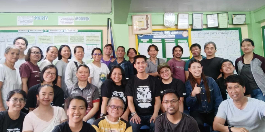
On 9 September 2023, the School of Engineering and Architecture (SEA) of Saint Louis University made great strides in community outreach and disaster preparedness by launching an extension program on hazard mapping in collaboration with the Barangay Disaster Risk Reduction and Management Council (BDRRMC) together with volunteers of Barangay Atok Trail. This initiative, facilitated through SLU’s Community Extension and Outreach Program Office (CEOPO), was implemented by faculty members of the Electronics, Civil and Geodetic Engineering Departments with the support and participation of the partner community led by Punong Barangay Hon. Federico B. Codley.
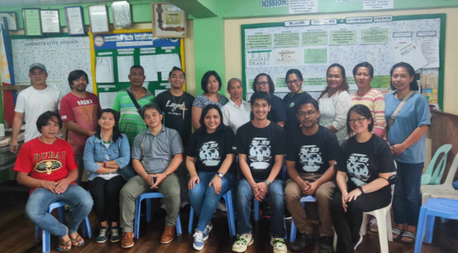
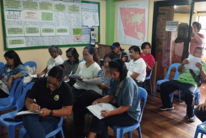
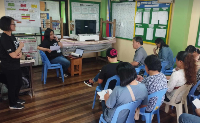
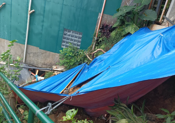
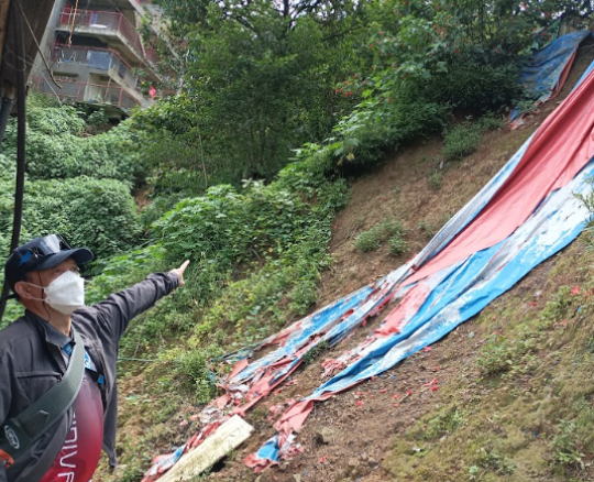
The Needs Assessment and Program Orientation conducted by the team facilitated information-gathering for the barangay trainees’ profile, identified existing systems or devices in disaster preparedness and mitigation, and gathered the latest data on vulnerable population, prevailing hazards in the area particularly on landslides, sinkholes and fault lines. The data gathered will be useful in developing a computer-based barangay hazard map for rainfall-induced landslide areas.
Why Hazard Mapping?
Baguio City and its surrounding areas have long been susceptible to natural disasters, with landslides being a significant concern due to the region’s mountainous terrain and heavy rainfall. Creating accurate and up-to-date Hazard Maps is a crucial step in disaster risk reduction and management. These maps provide valuable information for disaster preparedness and response efforts, enabling communities to minimize the potential impact of landslides and other hazards.
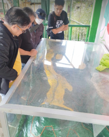
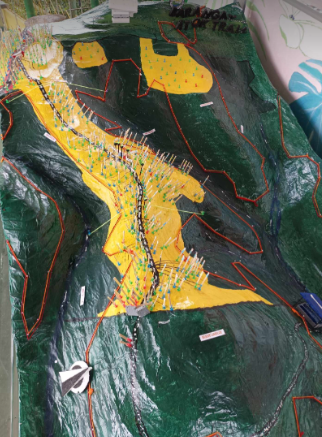
The Role of SLU’s Faculty and Volunteers
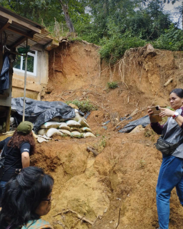
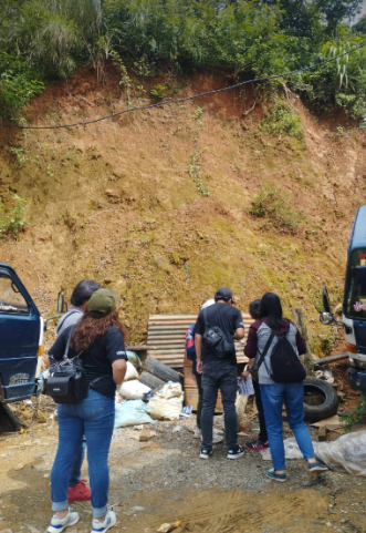
On 23 September 2023 faculty members from SLU’s Civil, Geodetic, and Electronics Departments brought their expertise to the table, guiding the BDRRMC volunteers and barangay officials through data collection processes and training them to locate exact coordinates of landslide events using the GPS receiver. The volunteers on the other hand, who are deeply rooted in their community, offered invaluable local knowledge and insights by pointing out where these landslides or fault lines are found in Upper, Middle and Lower Atok Trail.
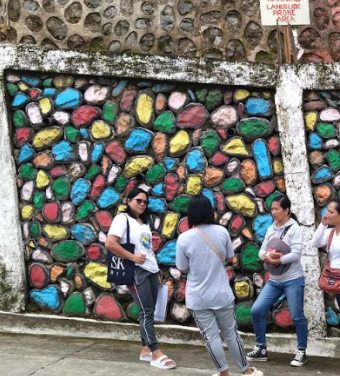
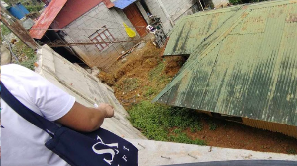
The collaborative effort involved field surveys, data analysis, and the use of advanced geospatial technologies to gather data on geological formations, rainfall patterns, soil composition, and other factors that contribute to landslide risk. By combining academic expertise with community engagement, the project aimed to create accurate and actionable Hazard Maps tailored to the unique challenges of Barangay Atok Trail.
Community Engagement and Empowerment
The success of this extension program is not limited to the acquisition of data; it also highlights the power of community engagement and empowerment. By involving the Barangay Council and Disaster Response Units, Saint Louis University empowered local residents to take an active role in mitigating the risks posed by landslides and other natural disasters.

