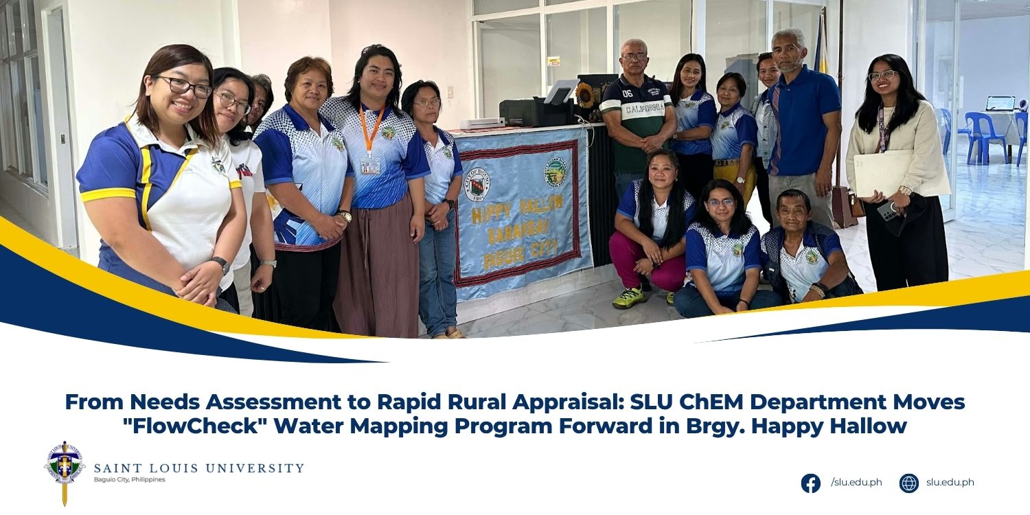
In line with its commitment to community-driven sustainable development, the Department of Chemical and Mining Engineering (ChEM) under the School of Engineering and Architecture at Saint Louis University (SLU) has moved forward with planning its extension program, “FlowCheck: GIS-Based Water Source Mapping and Stream Water Monitoring in Happy Hallow, Baguio City.”
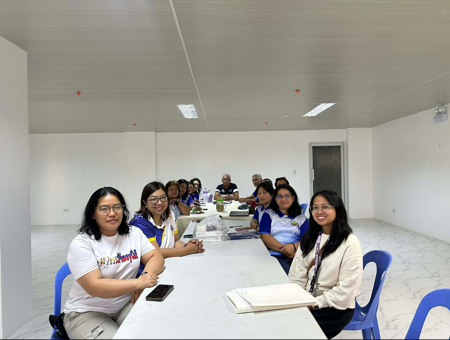
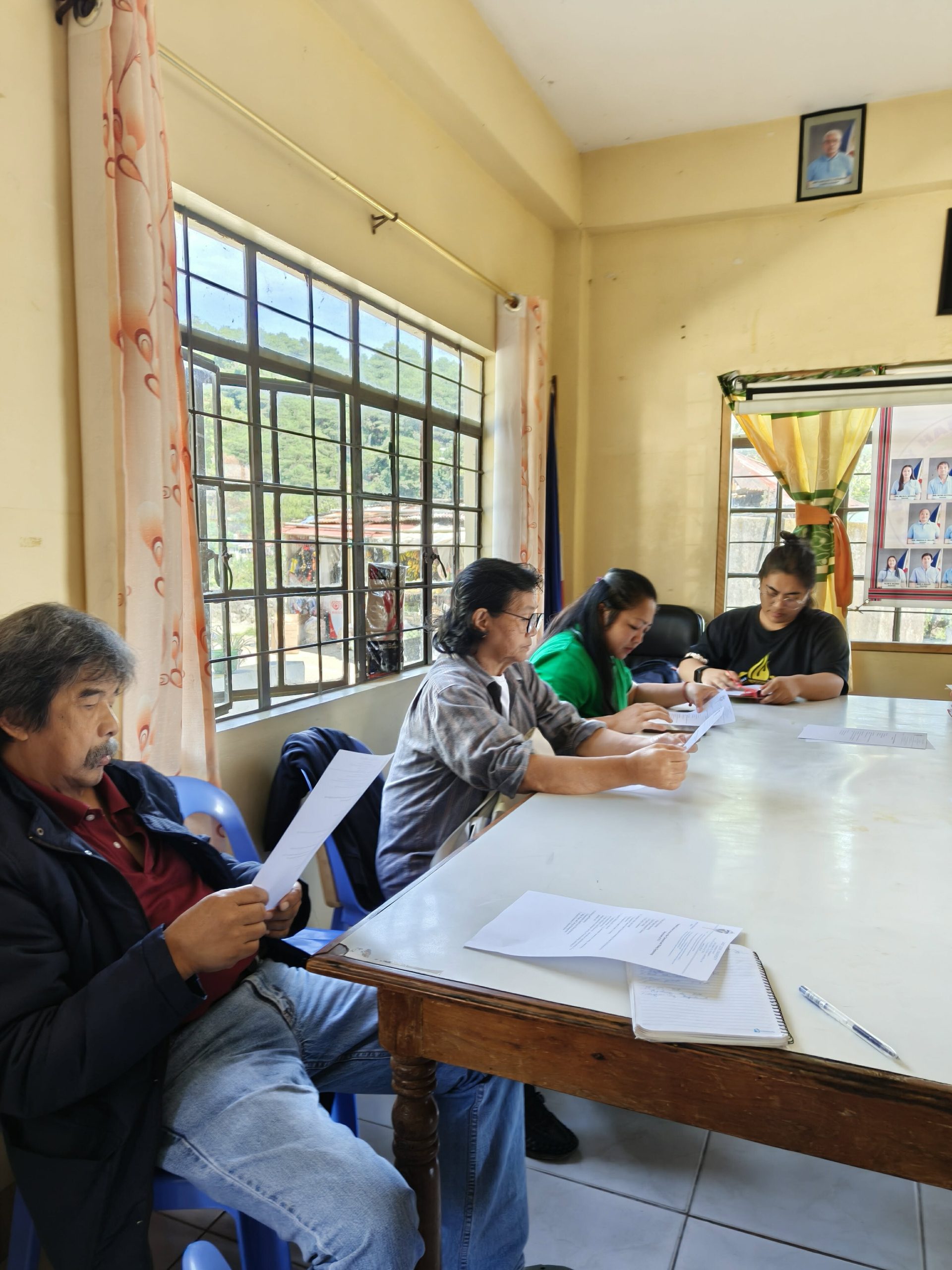
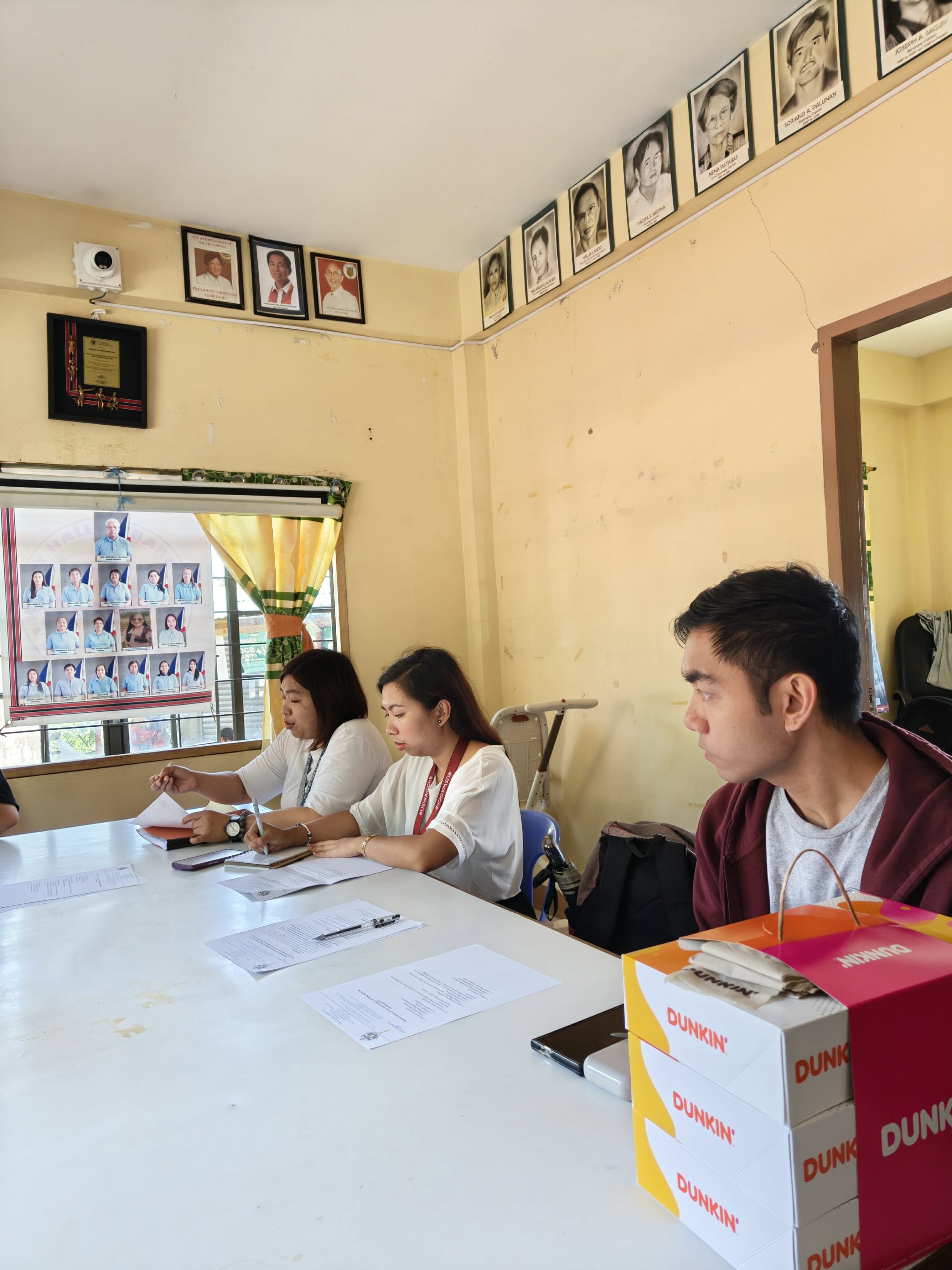
The program is targeted for full implementation by Academic Year 2027. It gained momentum after a face-to-face Rapid Rural Appraisal (RRA) held on 21 September 2026 at the Happy Hallow Barangay Hall.
The groundwork began in September 2025, when the department first met with local officials to explore technical interventions to address the barangay’s environmental concerns. These preliminary assessments revealed key gaps in local water management. There is no baseline water monitoring data, and traces of pollutants were detected in select water outlets. In addition, comprehensive water quality analysis is costly, which limits testing to a one-time occurrence.
Building an Evidence-Based Framework
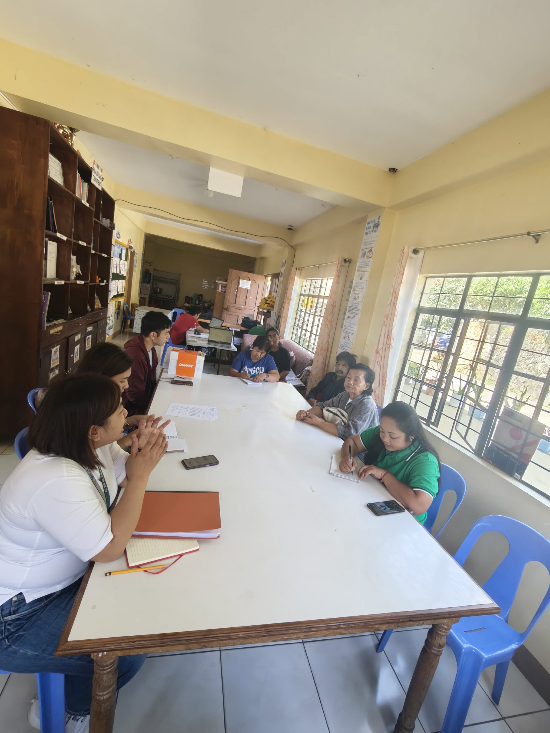
To address these issues, the SLU team administered a structured Community Needs Assessment tool to local officials and key community members on 4 May 2026. The assessment confirmed the urgent need for a cost-effective, sustainable monitoring system, reliable spatial tracking of natural water sources, and capacity-building measures to empower residents in local water stewardship.
Validating the Findings Through the RRA
The 21 September RRA session was designed to present, validate, and formalize the survey data together with community stakeholders. It was facilitated by ChEM Extension Program Coordinator Engr. Jonalyn A. Kimpay, Department Head Engr. Daphne C. Leal, and faculty representative Dr. Mary Vermi Aizza M. Corpuz.
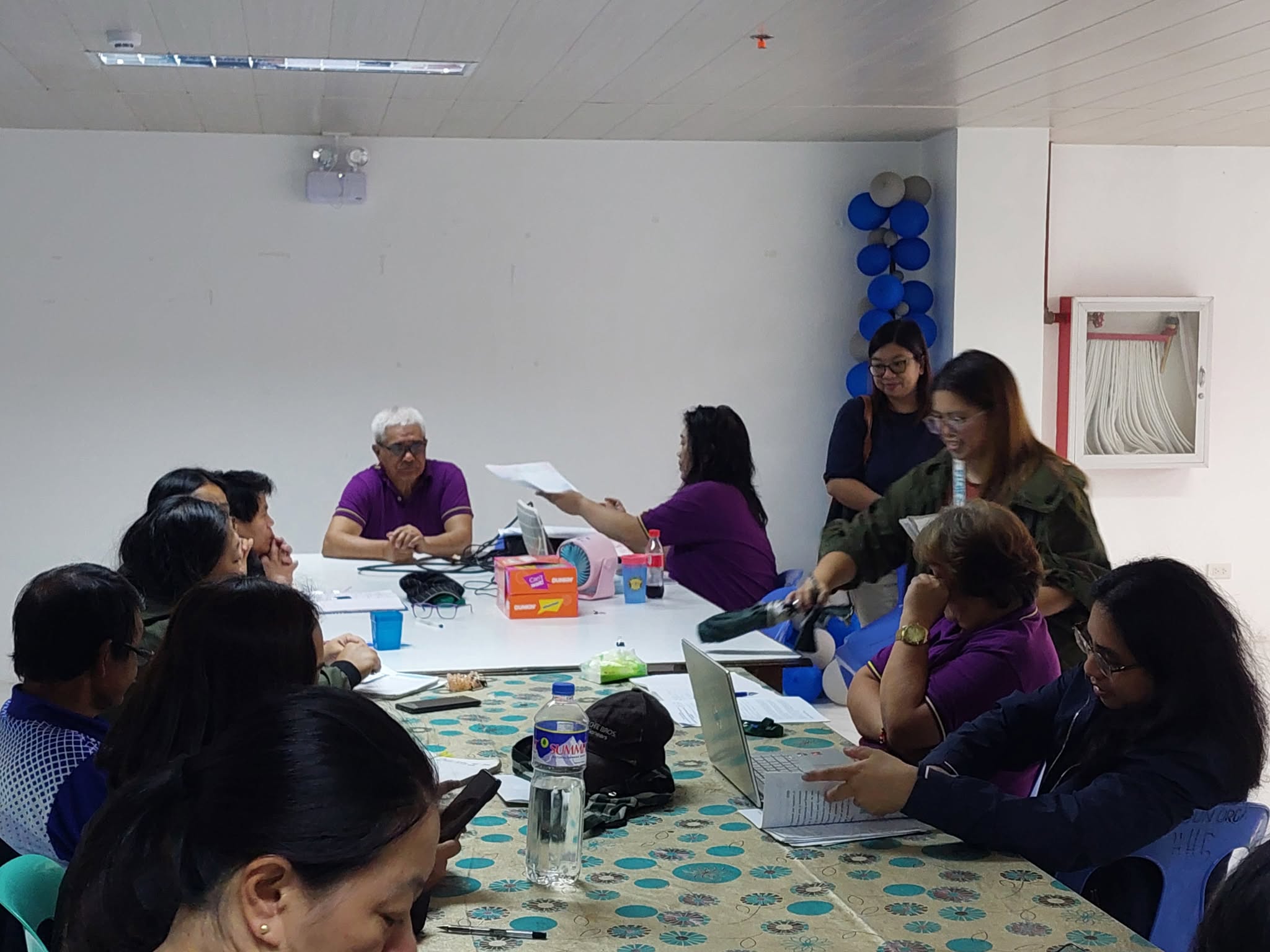
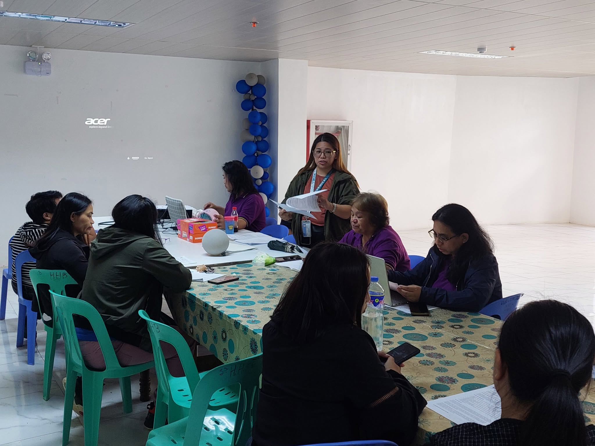
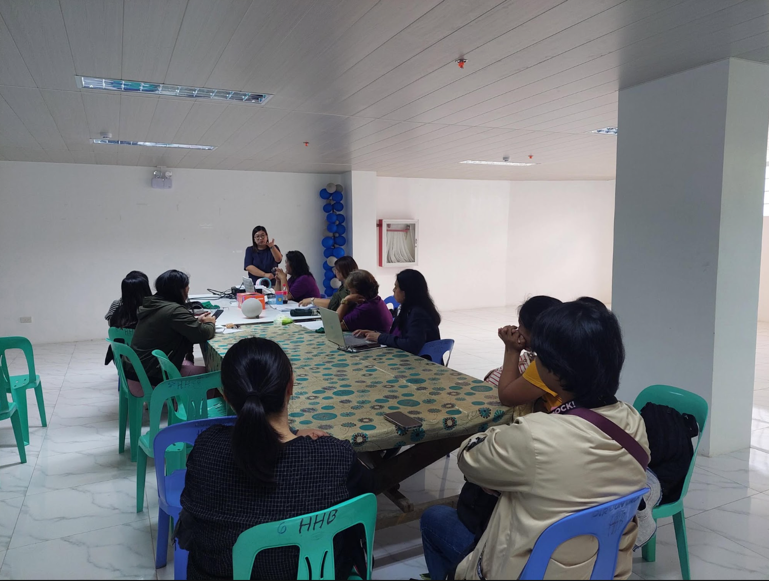
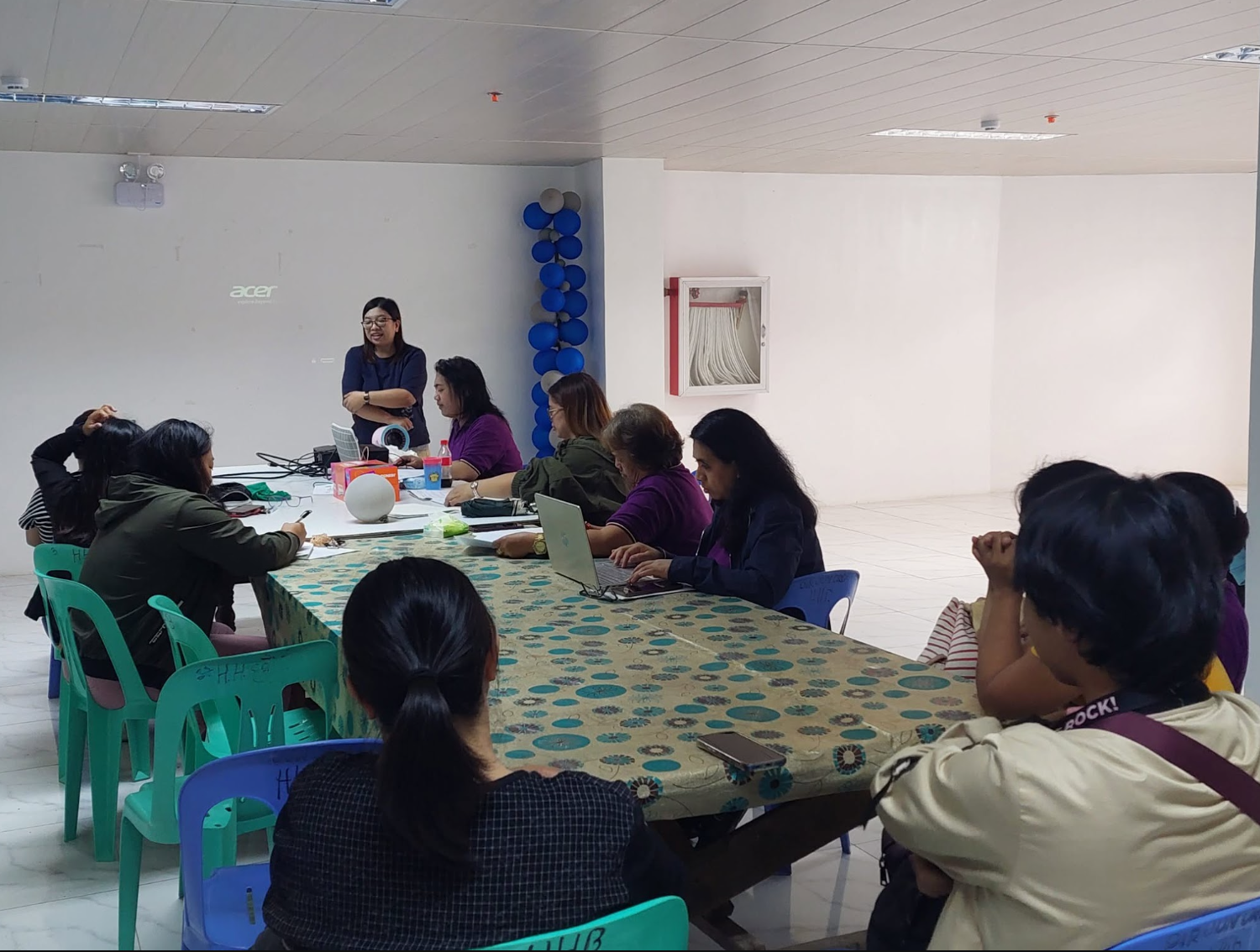
The interactive session brought together local leadership led by Punong Barangay Hon. Soriano A. Palunan and seven Barangay Kagawads, along with Barangay Health Services personnel and local residents. Academic experts and local leaders reviewed the assessed needs and finalized three project priorities: safeguarding stream health, establishing regular water quality testing, and providing hands-on training for community-led resource management.
A Digital Map for Water Stewardship
A key deliverable of “FlowCheck” will be a comprehensive Geographic Information System (GIS) map detailing all natural and localized water sources across Happy Hallow. This digital database will provide barangay officials with the spatial data they need to track water sources, monitor contamination risks, and inform environmental policy.
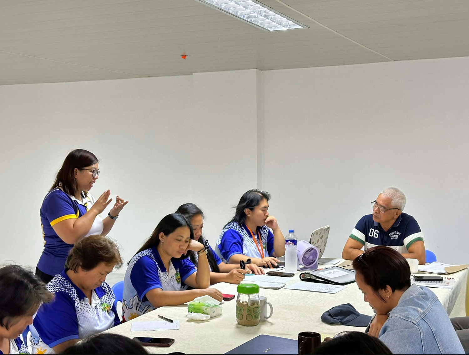

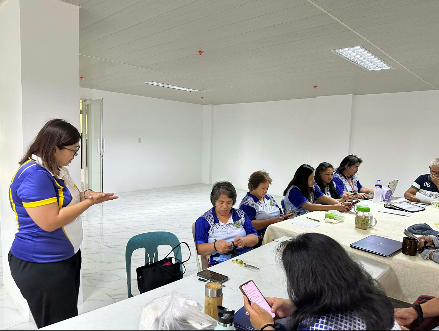
The initiative reflects SLU’s institutional values. It aligns with the advocacy of the Congregation of the Immaculate Heart of Mary (CICM) and the Laudato Si’ principles of environmental stewardship. It also contributes to several United Nations Sustainable Development Goals (SDGs). Regular water quality testing and monitoring of contamination risks help reduce illnesses from water pollution and contamination, in line with SDG 3 (Good Health and Well-being), Target 3.9. By identifying pollutants and strengthening local communities’ participation in water management through hands-on training, the program supports SDG 6 (Clean Water and Sanitation) and Targets 6.3 and 6.b. The spatial data that guides barangay decisions and environmental policy supports participatory, evidence-based planning, which advances SDG 11 (Sustainable Cities and Communities), Target 11.3. Finally, the lasting partnership among the university, the barangay government, health services, and residents reflects SDG 17 (Partnerships for the Goals), Target 17.17. (Article and photos by SLU Chemical and Mining Engineering Departments)